 01
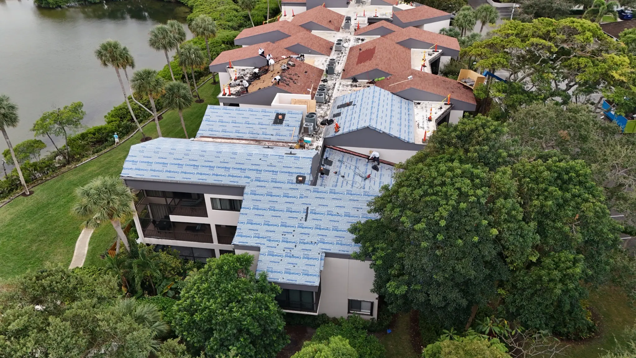
01Construction progress
Repeatable aerial views that help owners, contractors, and project teams document milestones, communicate clearly, and maintain a visual record.
Explore service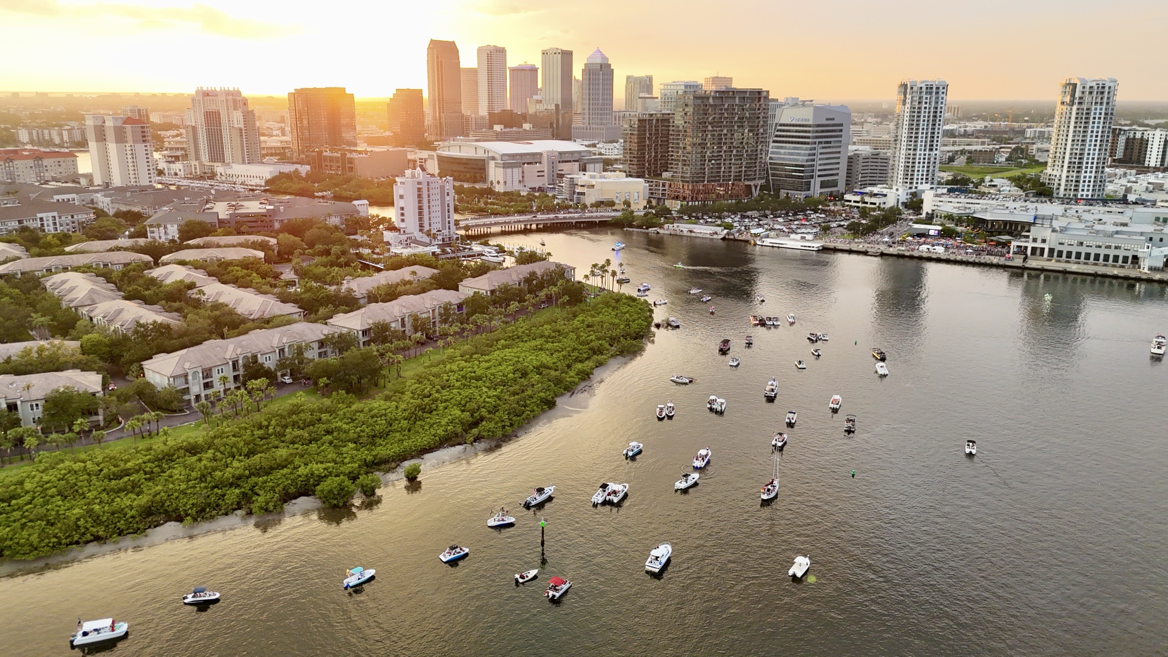
Tampa Bay drone services
Roof inspection imaging, construction progress photography, property documentation, real estate aerial media, and video across Tampa, Brandon, Riverview, Seffner, St. Petersburg, and Clearwater.
A better view of the work
Not generic drone footage. Every mission starts with the roof review, construction update, property presentation, estimate, record, or story the imagery needs to support.
01Repeatable aerial views that help owners, contractors, and project teams document milestones, communicate clearly, and maintain a visual record.
Explore service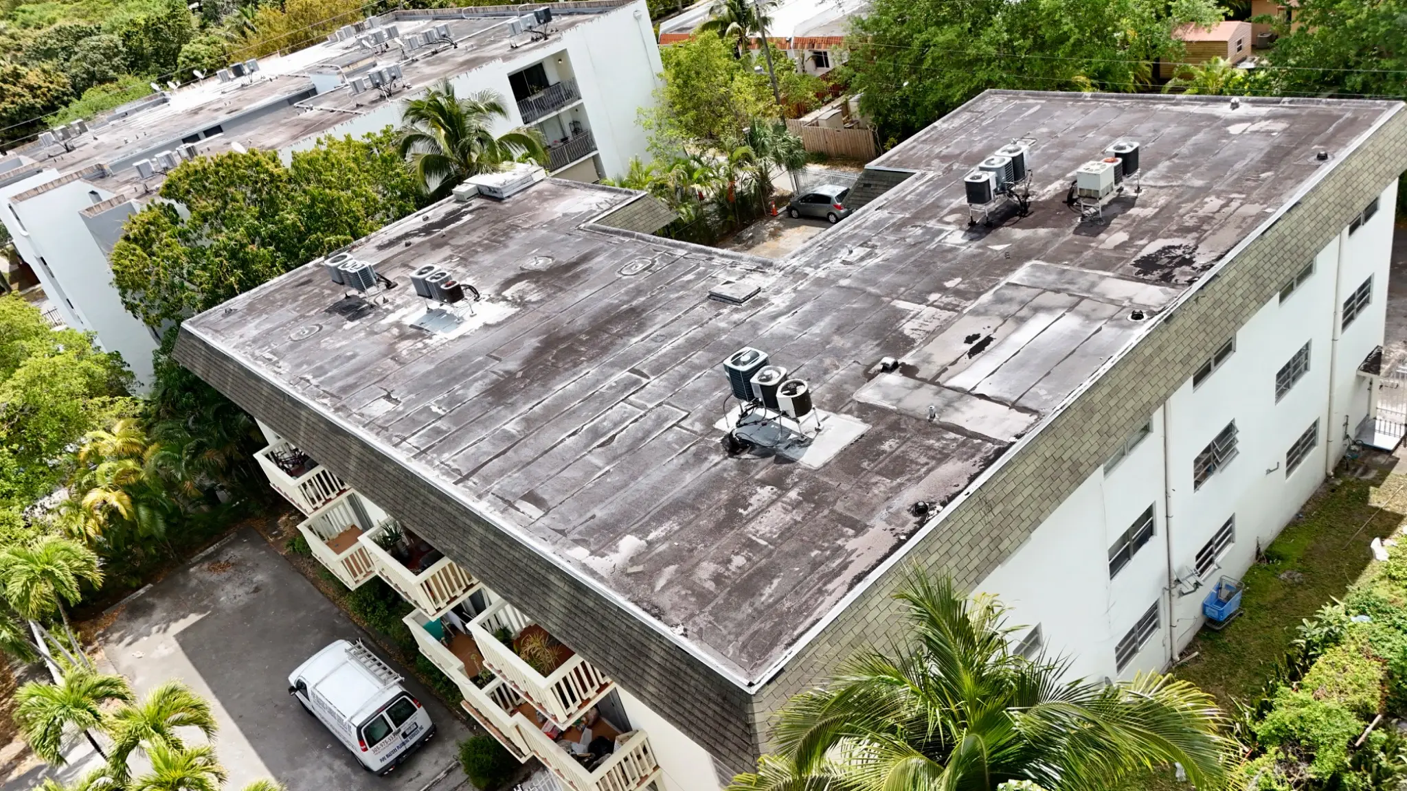 02
02Detailed roof imagery from hard-to-reach viewpoints for estimates, condition reviews, maintenance planning, and project documentation.
Explore service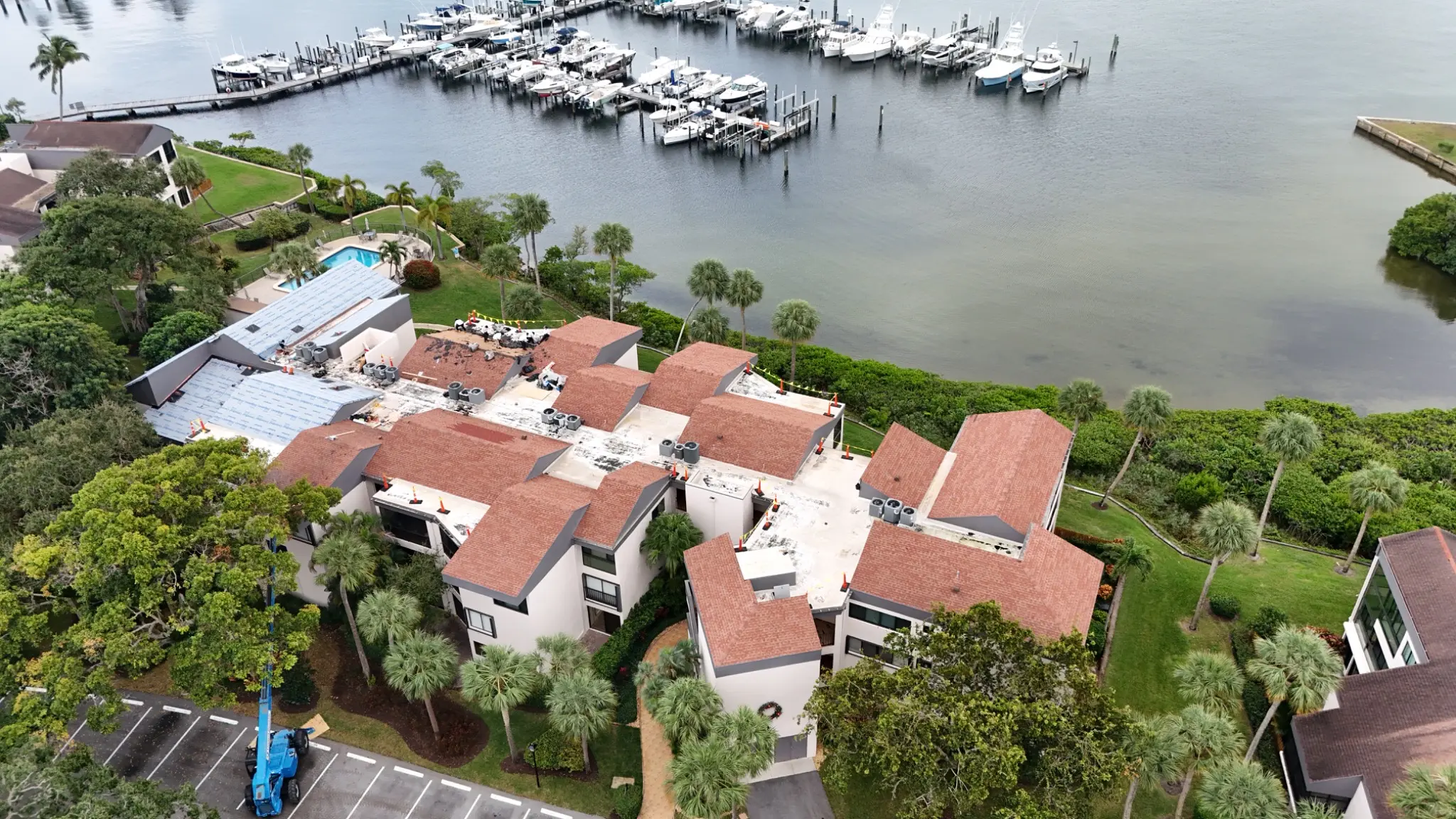 03
03A complete aerial perspective for commercial, multifamily, and residential properties, including roofs, exteriors, access, and site context.
Explore service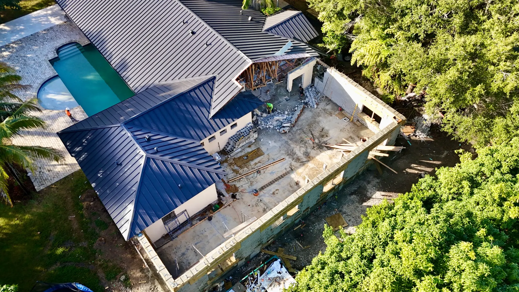 04
04Polished high-resolution photography and 4K aerial video that show properties, land, access, and surrounding context at their best.
Explore service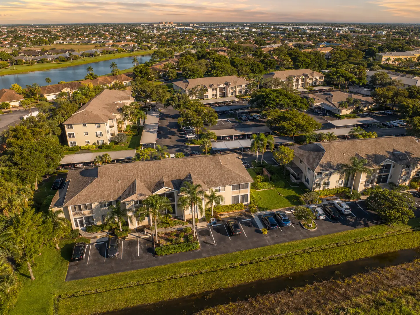 05
05Cinematic aerial photos and short-form video for venues, celebrations, waterfront events, businesses, and social campaigns.
Explore service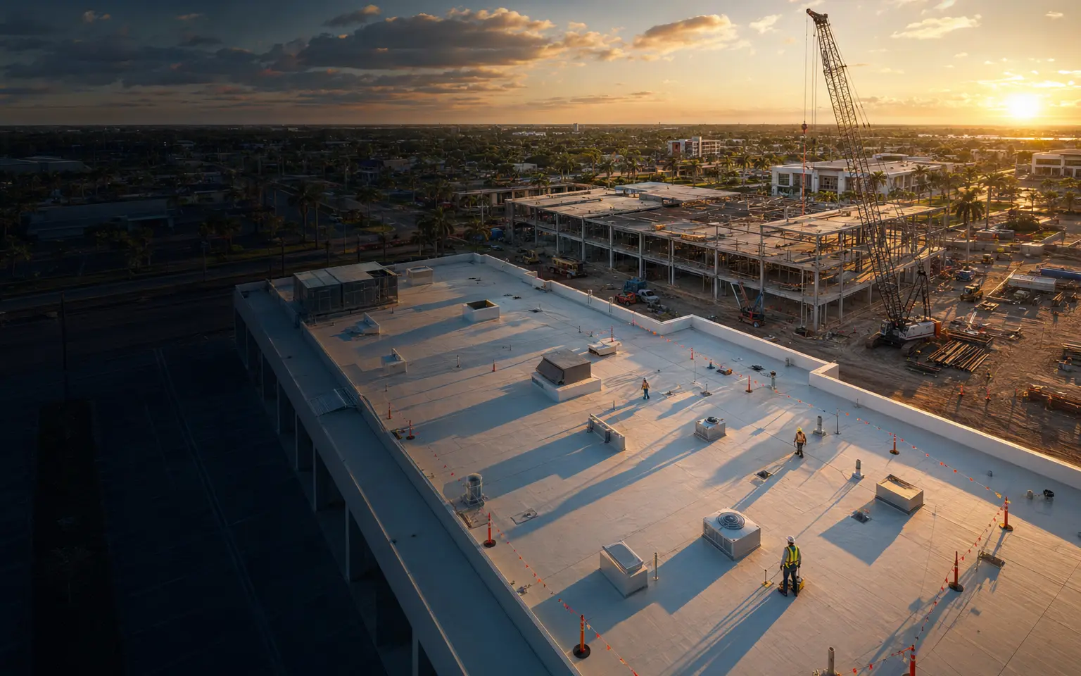 06
06Flexible aerial capture for promotional concepts, hospitality, land, special productions, and missions that do not fit a standard package.
Explore serviceLocal Tampa Bay coverage
Primary coverage includes Tampa, Brandon, Riverview, Seffner, St. Petersburg, Clearwater, and surrounding Hillsborough and Pinellas County communities. Southwest Florida projects remain available.
View all service areasBuilt for the field
Construction experience and practical planning shape the viewpoints, shot list, and delivery folder.
Track work in place, logistics, site conditions, and repeatable progress.
Capture roof planes, penetrations, drainage areas, edges, and visible conditions.
Document buildings, roofs, access, landscape, and surrounding context.
Create polished property imagery and social-ready aerial video.
Start with the location
Send the address, scope, timing, and intended deliverables. We’ll turn them into a practical flight plan and straightforward quote.